Mapping your country
compass rose -- 5 points
country boundaries -- 5 points
country name -- 5 points
capital city -- 5 points
five cities -- (2 points for each city) 10 points
scale of kilometers -- 10 points
landforms -- (at least five different ones, five points each) 25 points
icons to show five natural resources found in the country -- 5 points each (25 points)
neatly color the map -- 10 points
Create a fact sheet or an almanac page for the imaginary country. This sheet might present a wide variety of information and statistics about the country.
Create graphs to show information related to the imaginary country (for example, populations of the largest cities, population or income growth over the last century, or value of goods produced by major industries).
Students can use art supplies to create colorful graphs, or they might use graphing software or the online Create a Graph tool. http://nces.ed.gov/nceskids/createagraph/default.aspx
Invent a currency for the country and create a chart to show equivalencies between the country's currency and U.S. dollars.
Here are some of the activities that you will do for Dreamland.
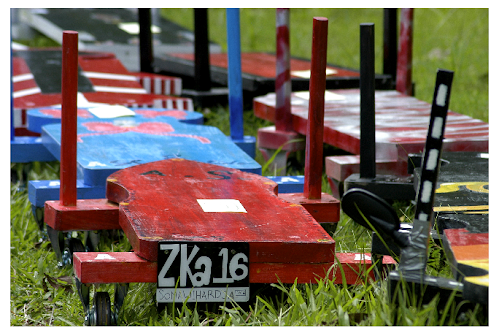
Grade 5 Billy Carts Made by the Students Themselves!

Subscribe to:
Post Comments (Atom)


No comments:
Post a Comment